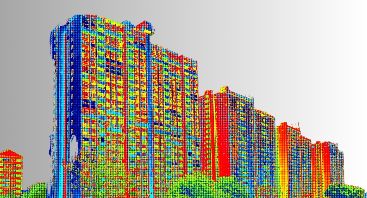
Urban planning has always been challenging, given the city's historical significance, diverse architecture, and population density. However, with technological advancements, mainly 3D laser scan surveys in London, urban planners have a powerful tool to enhance urban development projects' efficiency, accuracy, and sustainability.
Understanding 3D Laser Scan Survey
3D laser scan survey involves using laser beams to capture millions of data points of an object or environment's surface, creating highly detailed three-dimensional models. In urban planning, this technology enables planners to accurately capture existing conditions of buildings, infrastructure, and landscapes with unprecedented precision.
Benefits of 3D Laser Scan Survey in Urban Planning
- Accuracy: Traditional surveying methods often involve manual measurements prone to human error. 3D laser scanning eliminates this issue by measuring existing structures and landscapes, ensuring that urban planning projects are based on accurate data.
- Time Efficiency: With 3D laser scanning, urban planners can significantly reduce the time required to survey an area compared to traditional methods. This allows for faster decision-making and project implementation, saving time and resources.
- Visualization: The three-dimensional models generated through laser scanning provide planners with immersive visualizations of the urban environment. This enables stakeholders to understand proposed developments better and make informed decisions about design and implementation.
- Conflict Identification: 3D laser scanning helps identify potential conflicts or challenges early in the planning process by accurately capturing existing conditions. This allows planners to mitigate risks and optimize designs to avoid costly rework during construction.
Applications of 3D Laser Scan Survey in London
Historic Preservation
London is renowned for its rich history and architectural heritage. 3D laser scanning in London is crucial in preserving historic buildings and landmarks by creating detailed digital replicas. These digital archives document the city's cultural heritage and facilitate restoration and conservation efforts.
Infrastructure Development
Infrastructure development is a constant priority in a bustling metropolis like London to support the growing population and economy. 3D laser scanning enables planners to accurately assess existing infrastructure assets, such as roads, bridges, and utilities, to identify areas for improvement and optimize transportation networks.
Urban Renewal Projects
From revitalizing neglected neighbourhoods to reimagining public spaces, urban renewal projects are vital for maintaining London's status as a dynamic and livable city. 3D laser scanning gives planners the data they need to develop comprehensive regeneration plans that enhance urban quality of life while preserving the city's character and identity.
Case Study: The Thames Riverfront Redevelopment
A comprehensive redevelopment plan for the Thames Riverfront was initiated as part of London's ongoing efforts to revitalize its waterfront areas. Leveraging Laser Scanning Survey London technology, urban planners conducted detailed assessments of existing structures, terrain, and amenities along the riverbank.
The data collected through laser scanning informed the design and implementation of various initiatives, including:
- Flood Resilience Measures: Accurate topographic data allowed planners to assess flood risk areas and implement strategies to mitigate the impact of rising sea levels and storm surges.
- Public Space Design: Three-dimensional models facilitated the design of new public spaces, waterfront promenades, and recreational amenities, ensuring accessibility and usability for residents and visitors alike.
- Heritage Conservation: Historic buildings and landmarks along the Thames were digitally preserved through laser scanning, enabling architects and conservationists to integrate heritage assets into the redevelopment plan while accommodating modern infrastructure and amenities.
Incorporating 3D laser scan survey technology into urban planning processes is essential for enhancing cities like London's sustainability, efficiency, and resilience. By leveraging accurate data and immersive visualizations, planners can make informed decisions prioritizing preservation, innovation, and community well-being in the ever-evolving urban landscape.

